Introduction
The insurance and reinsurance industries are undergoing a structural transformation. Climate volatility is challenging traditional actuarial models, while multi-hazard events and extreme weather anomalies are increasing across every continent.
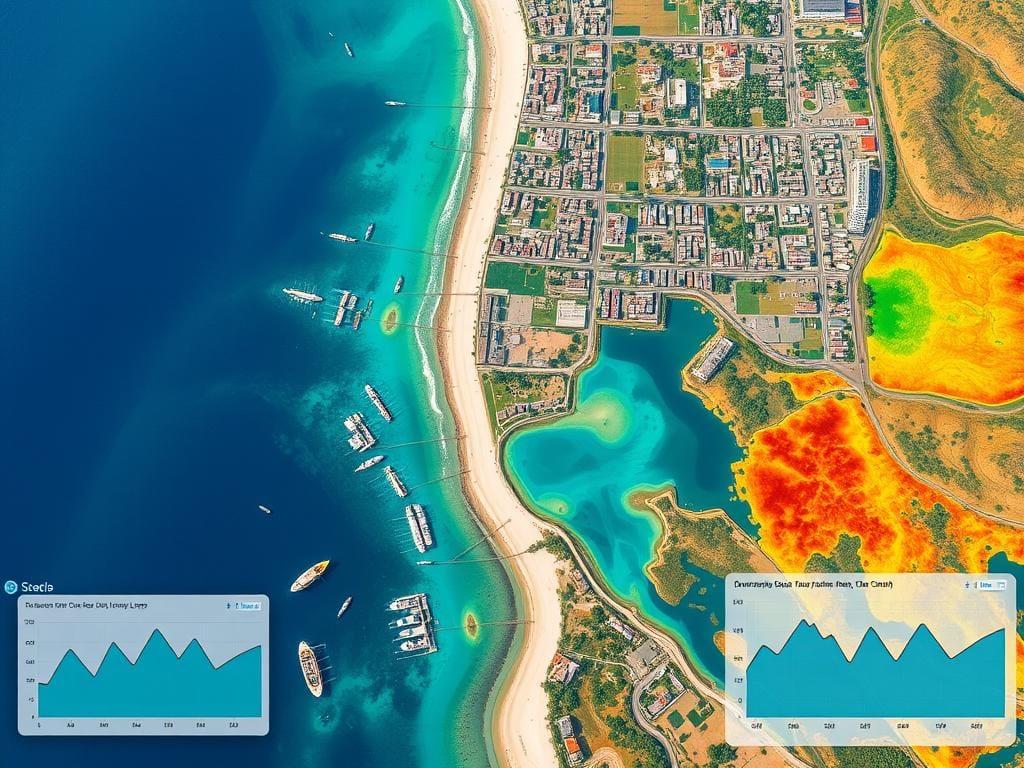
To respond, the risk industry has invested heavily in satellite imagery, macro-climatic models and remote sensing technologies to map global threats. These tools are invaluable for tracking large-scale phenomena. But they suffer from a critical limitation.
Satellites are exceptionally powerful at observing the Earth from above. They are far less effective at measuring the hyper-local conditions that determine whether a specific asset survives or fails.
To underwrite parametric risk accurately and protect critical infrastructure, the industry must complement orbital observation with verifiable ground truth. Insurers do not need more estimates. They need measurements taken exactly where losses occur.
The High-Altitude Blind Spot
Satellite remote sensing has revolutionized environmental monitoring, but it remains constrained by two structural limitations: spatial resolution and temporal latency.
Regional weather models divide the world into grids and calculate averages. Yet climate risk does not occur in averages.
The Wind Gap
Satellites can estimate broad storm fields, but they do not capture the micro-topography, localized gusts and wind shear that may push a specific telecom tower or industrial asset beyond its structural limits.
The Wildfire Threshold
Space-based models can identify dry regions, but they cannot detect the precise combination of humidity, temperature, wind and particulate matter around a single site that turns a spark into a major fire.
The Corrosion Factor
Variables such as dew point, saline exposure and local air quality can change dramatically over a few meters, materially affecting the lifespan of physical assets without ever appearing in a satellite pixel.
For organizations managing distributed infrastructure — whether rail networks, telecom towers, industrial facilities or island resorts — this high-altitude blindness creates a significant and costly data gap.
But Don't Insurers Already Have Access to Ground Sensors?
At first glance, this seems like a reasonable objection. Insurance companies and catastrophe modeling firms already use weather stations, public meteorological networks and third-party data providers. Why would they need another source of ground-level information?
The answer is simple: yes, insurers have access to data. No, they do not have access to the type of proprietary, infrastructure-based ground truth that Velox is building.
Three structural limitations explain why.
1. The Official Weather Station Problem — The Airport Effect
Most insurers rely on national meteorological networks such as Météo-France and their international equivalents. These stations are relatively sparse and are often located in airports, military bases or research centers.
If a telecom tower, industrial facility or island resort is located 45 kilometers from the nearest official station, the "local" data used for underwriting is largely interpolated. In other words, it is modeled rather than measured.
Velox captures the physical reality exactly where the asset and the risk are located.
2. The Deployment and Logistics Challenge
Insurers are not field operators. Deploying and maintaining thousands of IoT sensors across multiple continents requires reliable power, connectivity, physical security, maintenance and local operational capabilities. This is operationally complex and economically inefficient.
Velox solves this challenge through a fundamentally different approach. Rather than deploying standalone sensors, Velox deploys productive hybrid wind and solar infrastructures that generate electricity, improve resilience and host environmental instrumentation.
The sensor layer is embedded into a useful and monitored physical asset. As a result, the marginal cost of building a global climate intelligence network becomes exceptionally competitive.
3. Data Ownership and Exclusivity
Even when insurers purchase IoT data from external vendors, the underlying information is often derived from public or shared networks. Competitors can access the same datasets.
Velox is building something fundamentally different: a proprietary and exclusive network of hyper-local climate intelligence nodes. The data generated by these infrastructures does not exist elsewhere.
For insurers and reinsurers, exclusive access to high-frequency APIs calculating indices such as Wildfire Risk or Flood Risk at site level can provide a significant underwriting advantage and materially reduce basis risk.
Velox has developed a new paradigm: every hybrid wind and solar installation deployed across four continents functions as an ultra-instrumented climate node. By combining localized renewable energy production with high-frequency environmental sensors, Velox captures the exact physical reality of the terrain.
From Space Grid to Ground Nodes: Actionable Climate Intelligence
Through a secure platform architecture hosted on Google Cloud, using Cloud Run, PostgreSQL/TimescaleDB and BigQuery ML, this distributed network tracks hyper-local metrics in real time, including:
- Wind gusts and localized wind shear
- Particulate matter (PM10, PM2.5) and air quality
- Solar irradiance and soiling conditions
- Temperature, humidity and dew point
- Barometric pressure trends
These data streams are transformed into actionable hazard indices:
Fueling the Rise of Parametric Insurance
This hyper-local data layer is one of the missing ingredients for the large-scale adoption of parametric insurance. Traditional claims can take weeks to validate and settle. Parametric insurance replaces this process with automatic payouts triggered when a predefined threshold is objectively verified.
But a parametric contract is only as reliable as its data source.
If the trigger relies on a distant airport weather station or an infrequent satellite pass, basis risk remains high. Velox reduces this uncertainty by delivering ground-level measurements and real-time risk indices directly into underwriting workflows.
This enables insurers and reinsurers such as AXA, Swiss Re and Munich Re to design faster, more precise and lower-friction products based on verifiable field evidence.
The New Layer of Risk Management
As climate volatility accelerates, relying exclusively on macro-scale assumptions is increasingly insufficient. The most valuable climate intelligence is anchored in verified measurements captured directly where assets operate — enriched, not replaced, by satellite observation.
Velox bridges distributed energy infrastructure and institutional risk analytics to provide the critical telemetry needed to navigate a more volatile world.
Velox is not deploying sensors. It is building a proprietary climate intelligence network on top of productive energy infrastructure — providing insurers and infrastructure operators with the hyper-local climate intelligence needed to complement existing models, reduce basis risk and underwrite risk with greater precision and confidence.